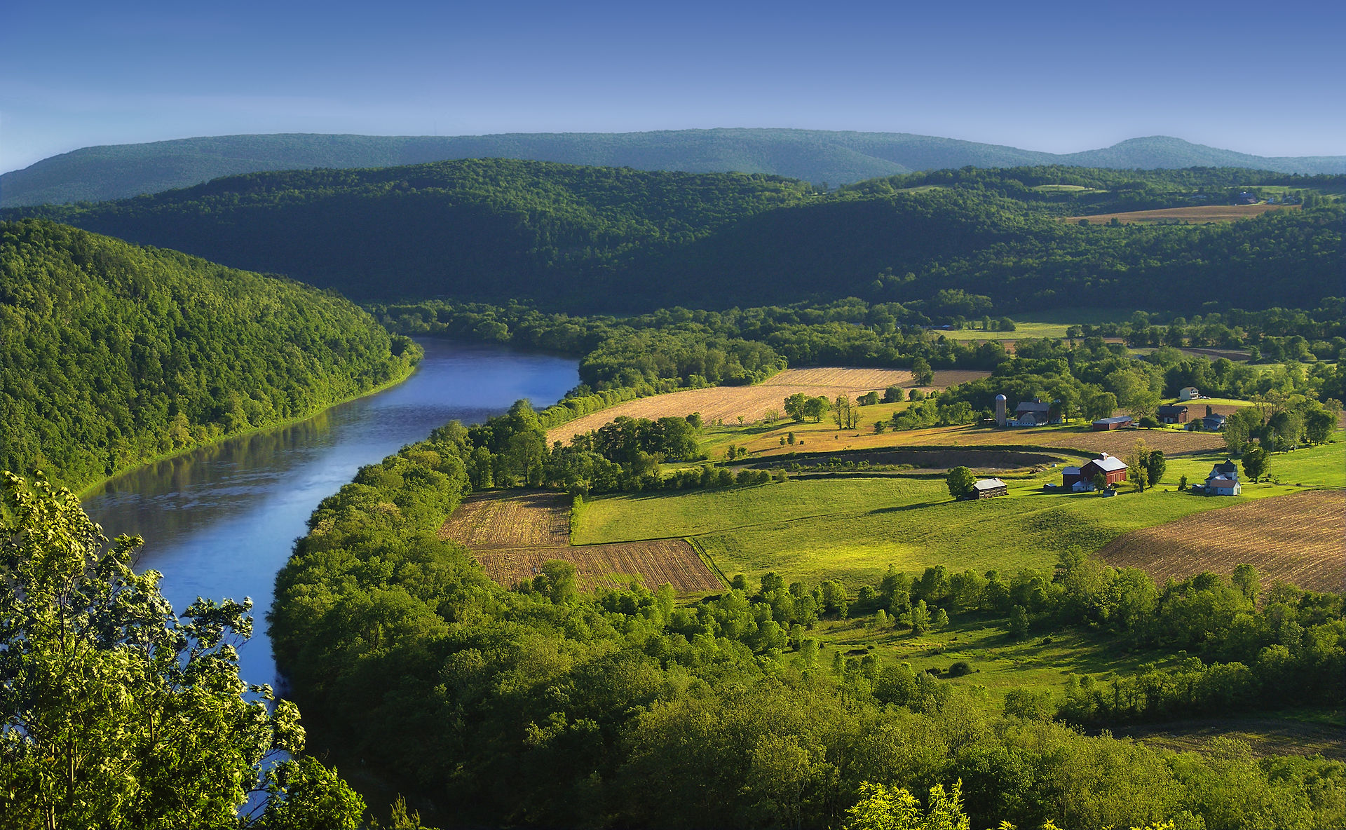
Susquehanna River (West Branch)
The origin of the official West Branch is near Northern Cambria County, Pennsylvania near the junction of Mitchel Road and US Route 219[10] (locally Plank Road). It travels northeasterly through Curwensville (where the river is dammed to form a lake), into and through Clearfield, Pennsylvania, where it’s joined by the Clearfield Creek right bank tributary. That tributary rises in a Loretto, PA woodlands source spring[11] outflow initially running northerly while draining the north and eastern slopes of the drainage divide crossing athwart the irregular rolling terrain of Cresson Pass. Clearfield Creek then passes through Cresson Lake and bends to flow generally northeast or north-northeast, passing through other tarns and gradually receiving tributary waters itself along its meanders gradually descend. Outside the pass flats, it becomes paralleled most of the time by PA Route 53 exploiting its valley through small towns like Ashville, PA, Glen Hope, PA and others serving witness to the gentle nature of its descent; still making its way north and east to the confluence in Clearfield—this valley is also exploited as a railroad corridor from Clearfield climbing to end in a wye within Cresson, PA in the same broad saddle pass as did the upper works of the Allegheny Portage Railroad and joining the railroad mainline climbing a nearby incline through the famous Horseshoe Curve (created by another Susquehanna River (main branch) tributary, in this case one feeding the waters (and railroads) of the Juniata River). The West Branch turns to the southeast and passes through Lock Haven and Williamsport before turning south. The North Branch joins the West Branch from the northwest at Northumberland, just above Sunbury.
Related Pages
Anderson Creek
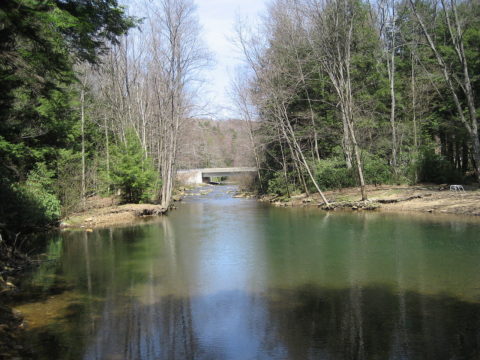 Anderson Creek is a 23.6-mile-long (38.0 km) tributary of the West Branch Susquehanna River in Clearfield County, Pennsylvania, in the United States.
The upstream portion of the Anderson Creek Watershed is a PA DCNR Conservation Area, and falls from Rockton Mountain, the highest mountain east of the Mississippi River on Interstate I-80 in Clearfield County, Pennsylvania. Anderson Creek is classified as a Class II-III+ whitewater stream and defines the Eastern Continental Divide. Brown Springs, in the Moshannon State Forest, near Rockton, Pennsylvania, is a put-in for kayaking to the West Branch Susquehanna River at Bridgeport, Pennsylvania. The vertical drop of Anderson Creek is 1450 ft. to 1175 ft. “Anderson is a stream of considerable size, and in a region not so well supplied with raftable waters as this, might be well classed among rivers.”
Related Pages